During the implementation of infrastructure projects, many customers ask the question: “How does Aidedo complete a Topographic Survey Drawing?”. This question comes from the need to understand how Aidedo operates and controls each stage to create drawings that meet high technical standards. When accuracy and consistency become key factors in design, understanding Aidedo’s implementation process not only shows interest but also serves as a basis for evaluating the professional capacity of a reliable technical unit.
What is a Topographic Survey?
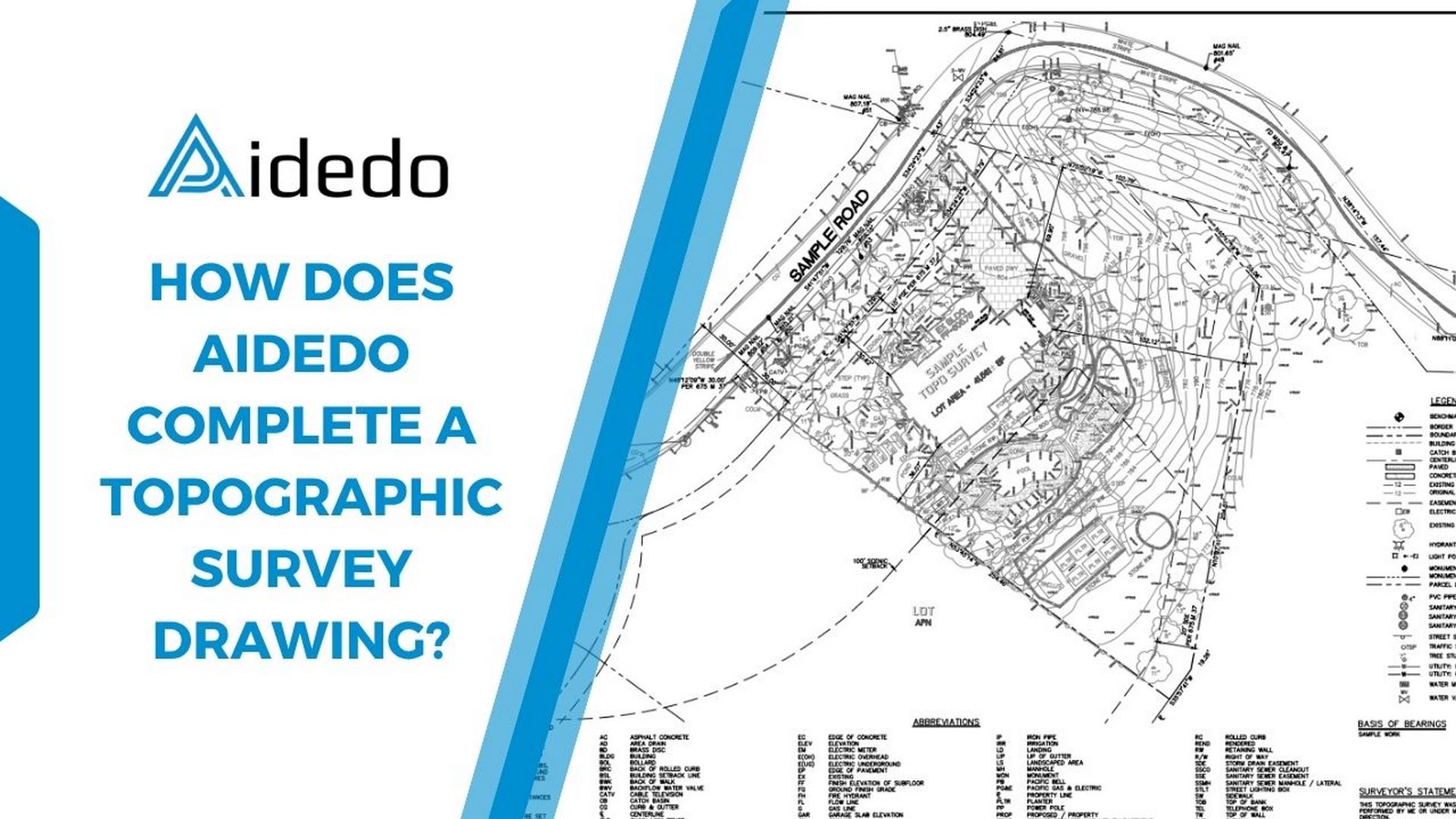
A Topographic Survey is the technical surveying process to collect accurate data about the terrain, including elevation, slope, boundaries, and all natural features such as rivers, streams, and vegetation, as well as man-made structures like roads, buildings, and technical infrastructure systems.
How does Aidedo complete a Topographic Survey drawing?
Step 1: Field data collection
Before the field crew goes to the site for data collection, they must first prepare available documents such as Plat, Deed, Table A, FEMA map, PID, etc. Then, they will redraw the property boundary, easement, and setback as described in Autodesk Civil 3D software and place it in the correct position on the Geolocation map.
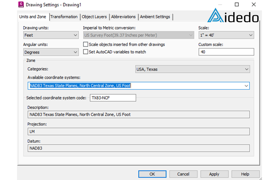
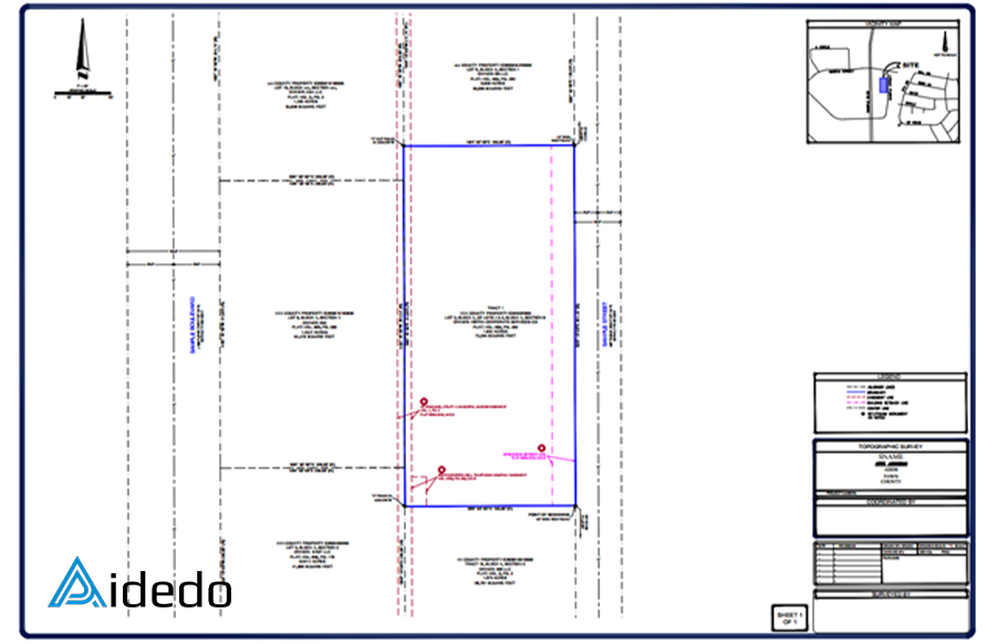
Once a drawing containing the property boundary, setback, easement, etc. is available, the field crew will take this drawing to the site to record current data.
- Establishing a control network: once on-site, the first task is to use the GPS device to align the survey with the national grid.
- Conducting the topographic survey: the team will survey both coordinates and elevation for all natural and man-made features within the project area. This is typically done using a Total Station. Each survey point will be described with abbreviations to make it easier to complete the drafting later
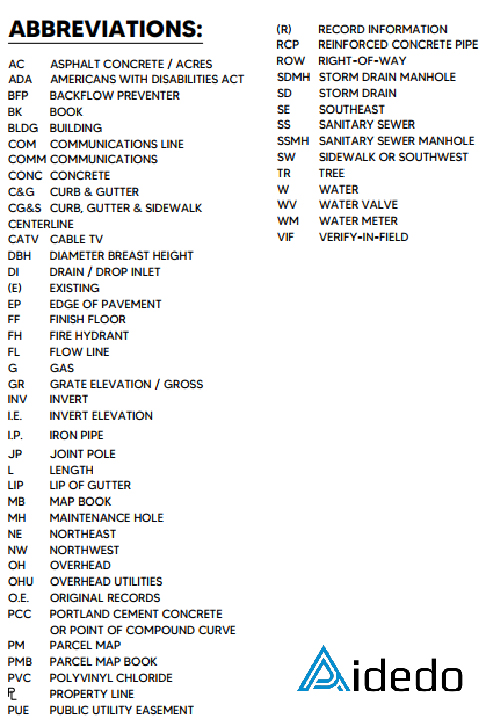
Step 2: Data processing and creating drawing
- Once all the necessary data is recorded from the field, the survey team will process the survey data at the office.
- Import the survey points into Autodesk Civil 3D and align the data from step 1 to the correct corner of the surveyed property line.
- Based on the field notes and photos, use these to complete the linework, block, and surface contour.
- The final drawing to be provided to the client will include both an AutoCAD drawing and a PDF. This final drawing will comprehensively show the surveyed area and include notes such as title commitment, legal description, notes corresponding to schedule B, flood information, utility notes, basis of bearing, vicinity map, benchmark, etc.
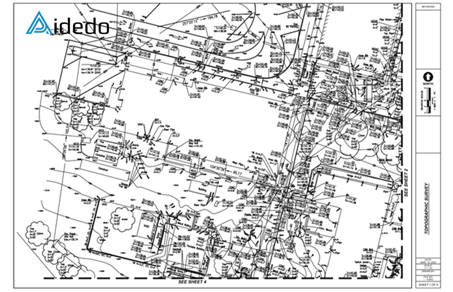
>>> See more: Sample projects done by Aidedo
Benefits of a Topographic Survey drawing
A topographic survey drawing provides significant value for any construction and planning project:
- Ensures design accuracy: The drawing provides detailed data on elevation, boundaries, and the current state of the site, helping architects and engineers create appropriate design solutions and limit the risk of errors.
- Optimizes costs and schedule: By clearly understanding the site conditions, the construction team can anticipate challenges, avoiding unplanned design changes or unexpected processing costs.
- Supports effective construction planning: The drawing clearly shows existing natural features and technical infrastructure, allowing the contractor to develop safe and reasonable construction methods.
- Legal basis and planning approval: A topographic survey drawing adheres to the national coordinate system, making it a crucial document for construction permit applications, appraisals, and project management.
- Mitigates long-term risks: Having accurate topographic data from the outset helps stakeholders avoid future issues related to subsidence, drainage, or land boundary disputes.
Given these benefits, Aidedo offers outsourcing services for topographic survey drawings, which are implemented through a strict technical process. This ensures that the current site data is accurately represented and fully complies with international standards. Based on this, we maintain transparency in every step of the execution, combined with our professional expertise and modern technology, thereby asserting our position as a reliable outsourcing partner for many companies in developed countries.
With a focus on technical quality, Aidedo always maintains a consistent workflow to ensure that each topographic survey drawing achieves the highest accuracy and application value. The question “How does Aidedo complete a Topographic Survey Drawing?” therefore not only demonstrates the customer’s interest but also demonstrates the professional working method that Aidedo pursues throughout the development process. If you would like to learn more about the Topographic Survey drafting service or discuss cooperation plans, please contact us via email contact@aidedo.com or send information via the form below. Within 1-2 hours and at the latest 12 hours, Aidedo’s team will proactively connect and arrange an online 1-1 discussion to suit your needs.

