
What is 3D survey modeling?
3D survey modeling is the process of creating 3D models of terrain, structures or real-work objects based on survey data collected using measurement such as total station, LiDAR, drone capturing images or performing 3D scan.
How to create 3D modeling from survey data
Step 1: Collect accurate survey data
The field survey team will use specialized equipment to capture the actual shape of the site in the form of point data or point cloud. Specifically, the data to be collected includes ground points such as spot elevations and changes in slope; breaklines such as curbs, gutters, sidewalks, walls, fences, and edges of pavement; feature codes such as trees, utilities, manholes, and buildings; control points for accurate georeferencing, and so on.
If the survey team uses a total station to collect data, they will manually sketch the site’s actual features to enable the field drafter to accurately recreate them.
If the field survey team uses drones or 3D scanning, the data volume will be large, but the level of detail will be extremely high.
Once the data is fully collected, it will be exported to formats such as .csv, .txt, .las, .laz, or .rcp.
Step 2: Import survey data into Civil 3D
Use Civil 3D software to import survey data. This step ensures all input data is georeferenced correctly and prepared for modeling.

Step 3: Clean and organize the data
Clean and organize the survey data into separate point groups based on specific elevation ranges to ensure better data management and accurate processing, enabling the creation of an existing surface that closely reflects real-world conditions.
For point cloud datasets, classification is performed in CloudCompare to separate ground points from off-ground elements such as buildings, trees, or utilities. This step is essential for generating an accurate ground surface model.


Step 4: Create the 3D Model
Once the cleaned and organized survey data is ready, the next step is to create an existing ground surface that represents the actual site conditions.
Once the cleaned and organized survey data is ready, the next step is to create an existing ground surface that represents the actual site conditions.
Incorporate spot elevations, contours, and control points to ensure the surface accurately represents the terrain.
Add feature lines for curbs, gutters, or pavement edges if needed.


Step 5: Review and export the model
Once the 3D model has been created, it must undergo a thorough review process to ensure accuracy, completeness, and suitability for its intended use.
Model Review (QA/QC)
- Spot-check elevations at known benchmarks or control points.
- Use surface analysis tools in Civil 3D (e.g., elevation banding, slope arrows) to detect any irregularities.
- Double-check that all critical breaklines (such as curbs, edges of pavement, and retaining walls) have been added to the surface definition, and that the TIN triangles align correctly along those breaklines.
- Select the surface and use the Object Viewer to visually inspect for any abnormal high or low points.
Export the completed surface to LandXML or IFC format based on the client’s requirements. After exporting, re-import or view the IFC file in a compatible viewer to verify that all geometry, elevations, and breaklines have been accurately preserved.
You can send your request directly via email to contact@aidedo.com or fill out the form below to receive 1:1 consultation, a detailed quote, and a free service trial for your first project. With a rapid 24-hour deployment process, high accuracy, and international quality standards, Aidedo is committed to providing optimal solutions that help your business save time, costs, and human resources.

GET STARTED WITH A FREE TRIAL
Please fill out the form and we'll be in touch within 12 hours!
Related posts
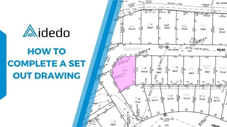
HOW TO COMPLETE A SET OUT DRAWING
What is a Set out survey? A set out survey is used to set out...

WORKSHOP “DIGITAL & AI FOR AIDEDO’S ENGINEERS” – APPLYING TECHNOLOGY TO ENHANCE WORK EFFICIENCY
Digital Transformation and Artificial Intelligence – The Inevitable Trend in Civil Engineering In the context...

How to complete the detail and contour survey for a client in Australia?
The purpose of this article is to provide readers with an overview of the key...

How to Complete a Tree Survey Drawing- A Step-by-Step Workflow from Input to Output?
I. What is a Tree Survey? A tree survey is a process of gathering detailed...

What Aidedo’s CEO and Engineers Say About AI in the ACE industry?
After the internal workshop “Digital & AI for Aidedo’s Engineers”, six key team members shared...

HOW DID WE SUCCEED IN DELIVERING 103 ACRE LAND DEVELOPMENT PROJECT WITH 287 LOTS?
STATUS/ COUNTRY: Illinois, USA AREA: 103 ACRE RESIDENT LOTS: 287 PROJECT SUMMARY: The 103-acre land...